.
|
Looking back SE from the interstate bridge towards the old '66 bridge (closed to traffic). ('99) |
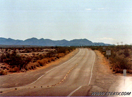
Looking down Goffs Road at the turn west. ('97) |
|
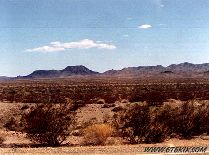
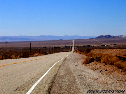
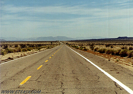
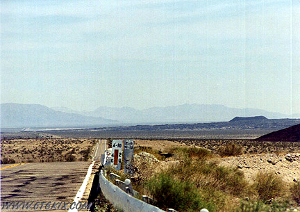
East of Goffs looking to the north. Not much but desert out there. ('97) |
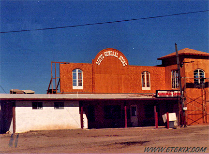
Goffs General Store during remodeling. ('97) |
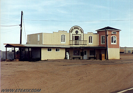 Pic of the completed remodeling of the Goffs General Store. ('99) |
 Heading southwest from on Goffs Road towards the interstate. ('97) |
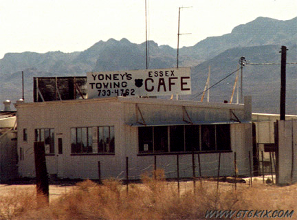 Essex Cafe and Towing in Essex. ('97) |
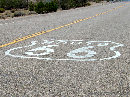
Route 66 Shields are stenciled every 10-15 minutes. ('04) |
|
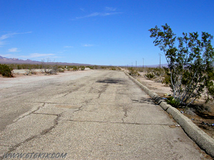
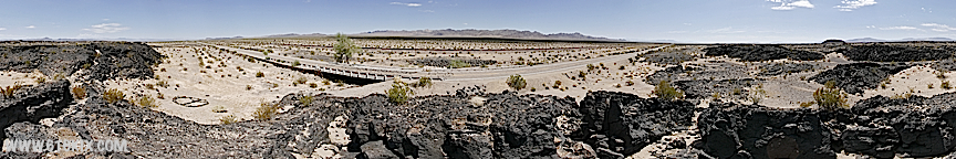
Looking back east on the siding of one of the old Route 66 rest stops. ('04) |
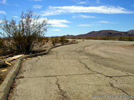
Looking west at the west-end exit off of 66. ('04) |
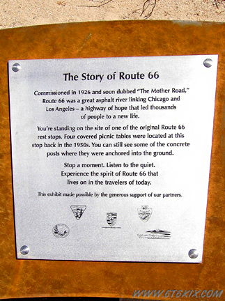
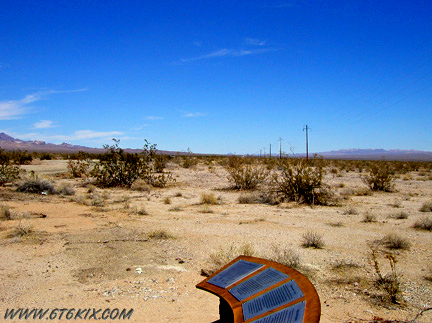
One of the metal plaques on a modern information kiosk in the rest stop. ('04) "Commissioned in 1926 and soon dubbed 'The Mother Road' Route 66 was a great asphalt river linking Chicago and Los Angeles - a highway of hope that led thousands of people to a new life." |
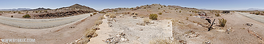
The foundations of the old picnic tables can still be seen. ('04) "You're standing on the site of one of the original Route 66 rest stops. Four covered picnic tables were located at this stop back in the 1950's. You can still see some of the concrete posts where they were anchored into the ground. Stop a moment. Listen to the quiet. Experience the spirit of Route 66 that lives in the travellers of today." |
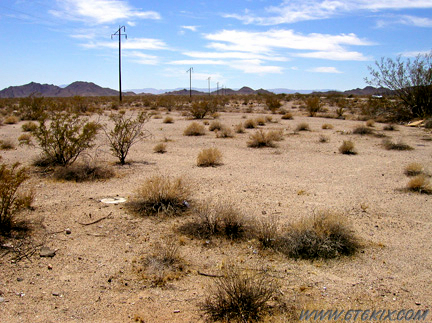
Looking east from the information kiosk. ('04) |
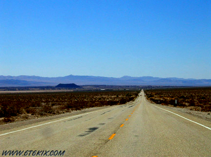
Looking east from the top of Cadiz Summit. ('04) |
|
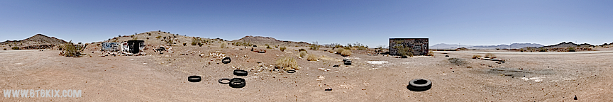
The ruins of the gas station/restaurant at Cadiz Summit. ('99) |
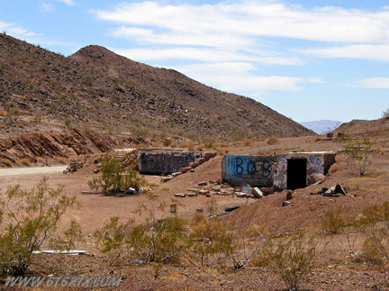 The same shot 5 years later. The graffiti artists have been busy. ('04) |
 The ruins from the south side of 66. ('04) |
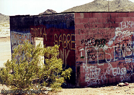 Graffiti on the ruins from the north. ('99) |
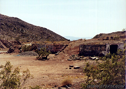
Same building from the south side. ('04) |
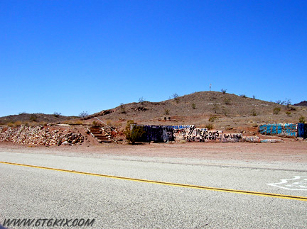
Cadiz Summit Ruins from the East. ('10) |
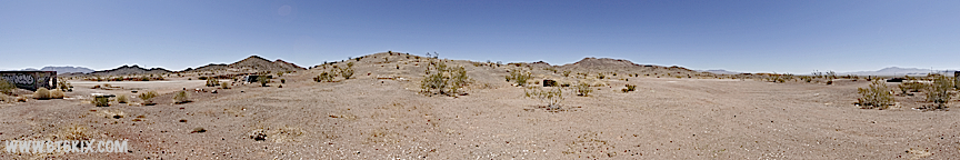
Cadiz Summit ruins from the North. ('10) |
Cadiz Summit ruins from the South along Route 66. ('10) |

Cadiz Summit ruins near the stairway up to the main house. ('10) |

Cadiz Summit ruins from the main house foundation. ('10) |

West end of the Cadiz Summit ruins. This area had cabins. The excavation in the hill is where the cooler was. ('10) |
Halfway up the hill above the Cadiz Summit ruins. ('10) |
View from the sidewalk along the top of the retaining wall in the main house patio area. ('10) |
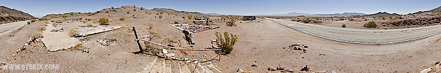
View of the Cadiz Summit ruins at the top of the stairs up the retaining wall. ('10) |
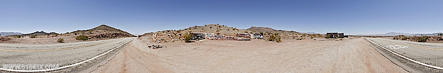
Cadiz Summit ruins from Route 66. ('10) |

Cadiz Summit auto service building. ('10) |
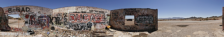
Good view of the graffitti inside the Cadiz Summit ruins auto service building. ('10) |
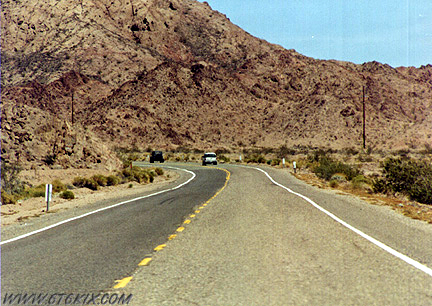
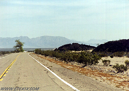
Looking back east, 66 curves up towards Cadiz Summit from the west side of the pass. ('99) |
|
Looking west from near the summit. ('04) |
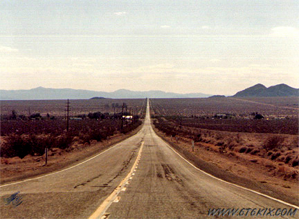
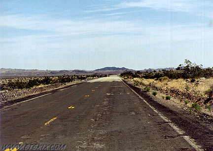
The Road west on the west side of Cadiz Summit. ('97) |
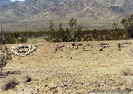
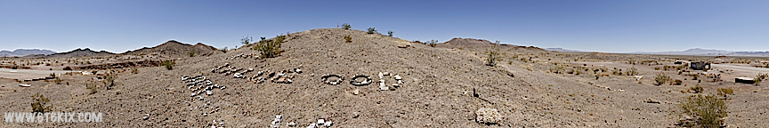
One of many messages formed out of rocks and debris along the dirt berms along '66. ('99) |
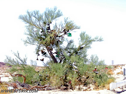
A new addition this trip. A "shoe-tree" has grown. I didn't have any to add but next time I will bring a special pair just for this. ('04) |
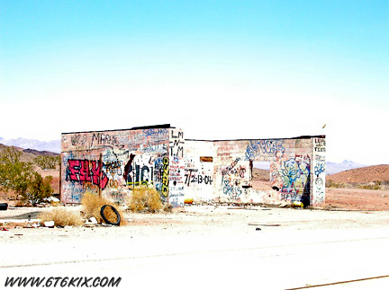
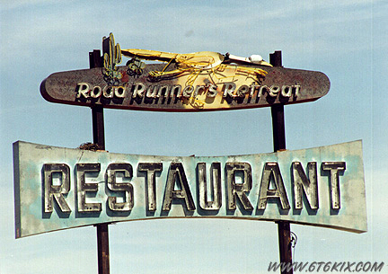 The Road Runner's Retreat restaurant sign. ('99) |
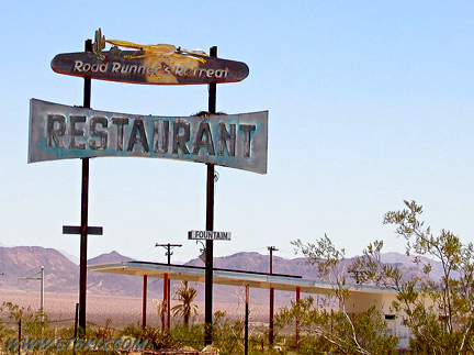
A newer shot still looks good. ('04) |
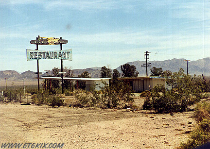 The remains of the Road Runner's Retreat. ('99) |
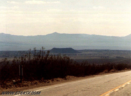
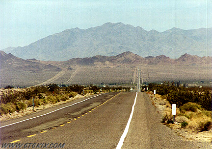 Looking back east towards Chambless and Cadiz Summit. ('99) |
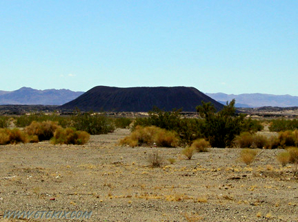
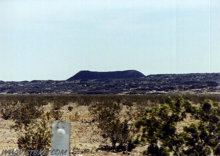
 Amboy crater in the distance. ('04) |
 Another shot of Amboy Crater. ('97) |
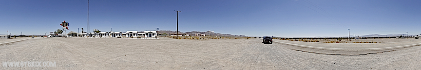
Roy's Cafe and Hotel complex in Amboy. Also the school and Post Office('10) |
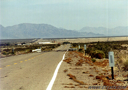
Looking back east towards Amboy. ('99) |
Amboy crater at the intersection west of town. ('04) |
View of Route 66 from atop the Amboy Crater lava flow west of Amboy. ('10) |
Looking back east where curves around the Amboy Crater lava field. ('99) |
Looking back SE over the lava field towards Amboy Crater. ('99) |
Looking east with Amboy Crater in background. ('99) |
Same shot 5 years later. 66 actually looks better than last time. ('04) |
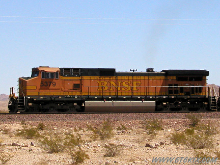
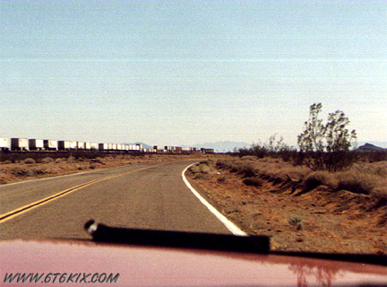
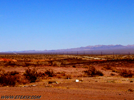
There were trains every 15 minutes as we passed along. The railroad is still a main line for commerce. ('04) |

Old railroad boxcars west of Amboy. ('99) |
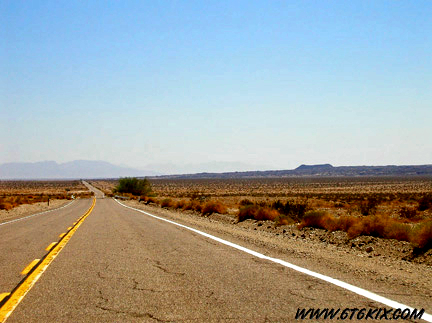
Looking east on '66. ('99) |
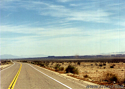
Looking east along '66. Amboy Crater in background. ('99) |
Original location of Bagdad between Route 66 and the railroad tracks. |
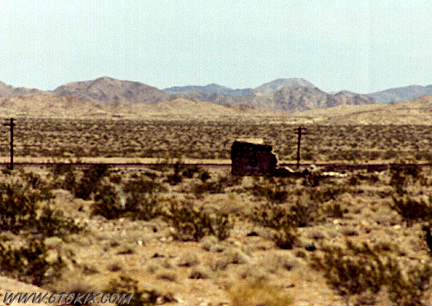
Ruins along '66. Not sure, but I think it is Siberia. ('99) |
Section of older bypassed '66 near railroad crossing east of Ludlow. ('99) |
|
Section of deteriorating '66 east of Ludlow. ('99) |
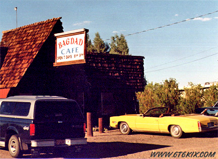
The Bagdad Cafe in Newberry where the movie was filmed (there isn't anything left of the real Bagdad anymore). ('97) |
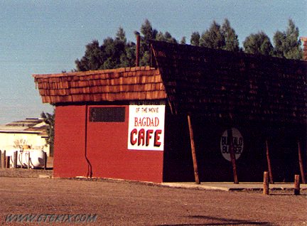
Side of the Bagdad Cafe with sign referring to the movie. ('97) |
1930's cafe with curved roof in Daggett. ('97) |
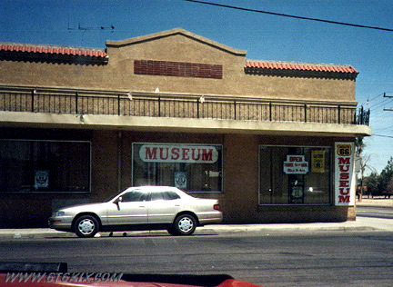
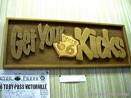
Front of Victorville Route 66 Museum. ('97) |
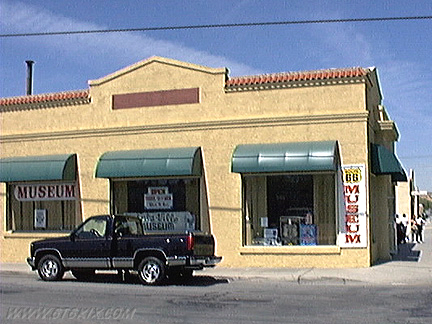
A more recent photo from out front. ('99) |
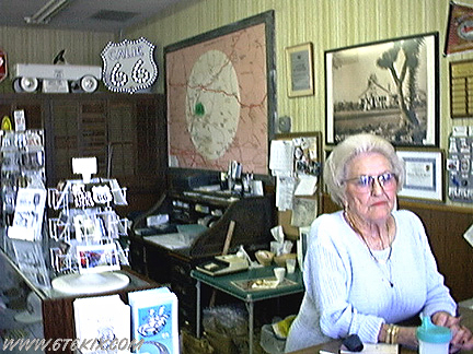
A view of the front desk just inside the door. ('99) |
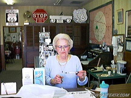
Don't forget to sign the guest book! ('99) |
Close up of a sign inside. ('99) |
Roy Rogers/Dale Evans Museum south of Victorville. ('97) Update: The collection has been moved to Branson, MO. |
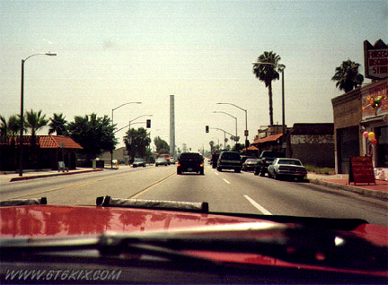
Heading west on '66 in San Bernardino. ('97) |
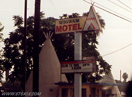
The Wigwam Motel in San Bernardino. ('97) |
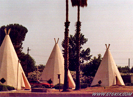
A shot of the Wigwams. Not as colorful as the ones in Holbrook but they appear to be kept up pretty good. ('97) |
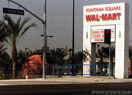
An old orange juice stand in Fontana. The new Wal-mart moved it next to their sign and built a metal fence around it. This stand is the last of many that once dotted '66. ('97) |
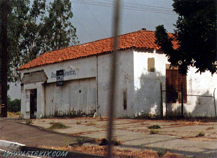
The remains of Duane's Service Station in Fontana. ('97) |
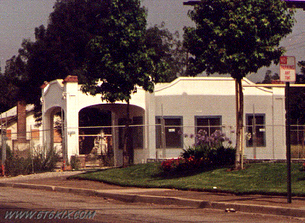
1920's service station in Rancho Cucamonga. ('97) |
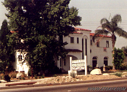
Klugman House. ('97) |
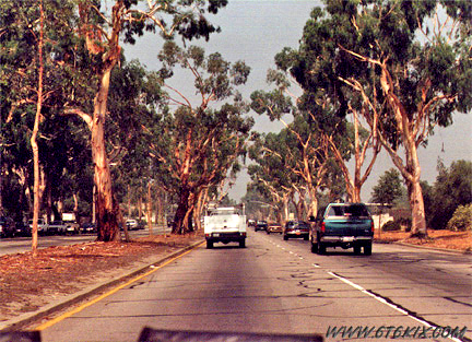
Original 4-lane '66 from 1931 in Claremont. It is lined with various varieties of eucalyptus trees. ('97) |
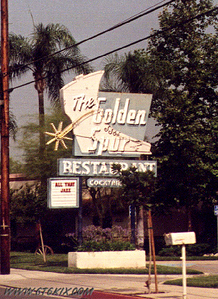
The Golden Spur Restaurant in Glendora. ('97) |
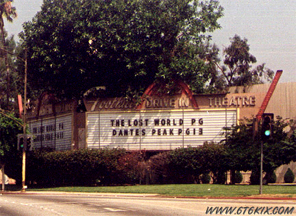
Foothill Drive-In in Azusa. ('97) |
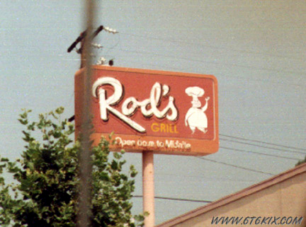
Rod's Grill in Arcadia. ('97) |
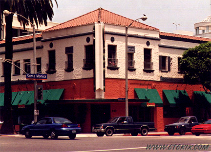
The former Belle-Vue Restaurant at the NE corner of Santa Monica and Ocean. ('97) |
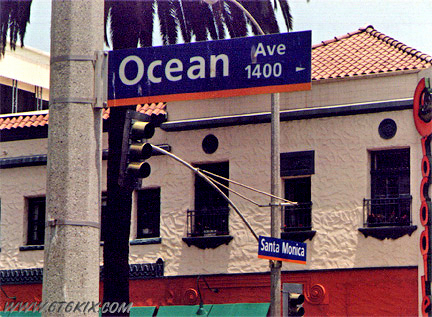 Road signs at the west end of '66. Ocean Avenue and Santa Monica Blvd. ('97) |
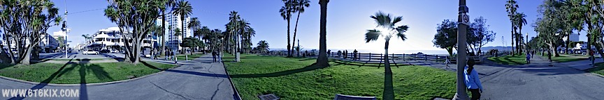
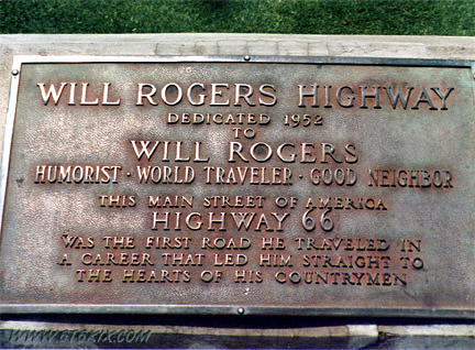 Will Rogers Highway marker in Palisades Park. ('97) |
The 'End' of Route 66 in the park at Oceanside and Santa Monica Boulevard. |
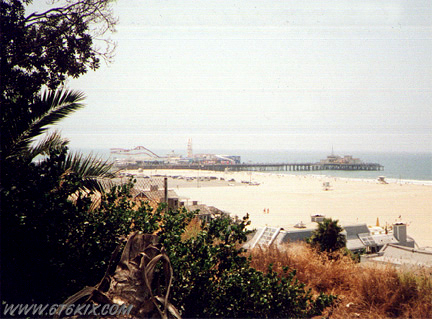
The Santa Monica Pier from Palisades Park near the Will Rogers marker. ('97) |
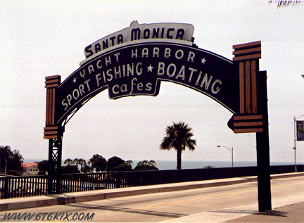
Close-up of the entrance to the Santa Monica Pier. ('97) |
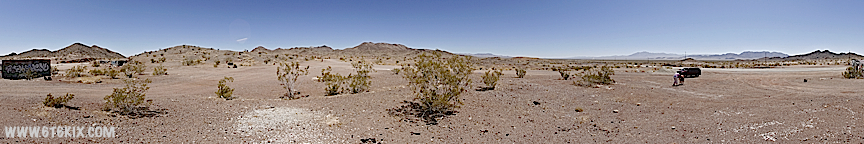
Panorama taken at the base of the pier (the elevated causway can be seen) below the aquarium. ('10) |
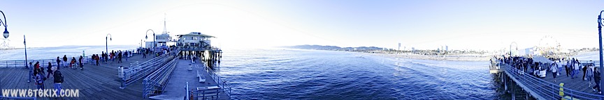
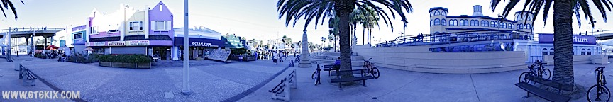
Pole panorama taken on the North side of the pier beyond the amusment park. ('10) |
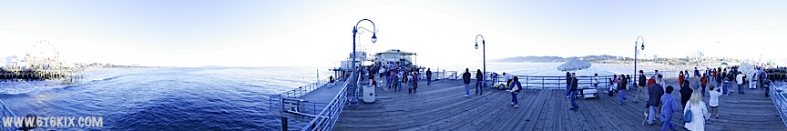
Pole panorama taken on the South side of the Santa Monica Pier. ('10) |
.
|
|
|
|
|
|
|
|
|
.
.
|
|
|
|
|
|
|
|