|
.Walnut Canyon National Monument has always been associated with the transportation corridor through Northern Arizona and Route 66. The monument is locatated a couple of miles south of the 40's alignment and is about 5 minutes east of Flagstaff on I-40 near where the 40's alignment leaves the I-40 corridor to enter Flagstaff. The monumnet has a modern building at the edge of the canyon and feature picnic grounds and hiking trails along the rim. The main attraction is the 'Island Tour' trail that goes down into the canyon and circles around a point of land or knuckle in the path of the canyon. The trail traverses the densest area of ruins left by the Walnut Canyon cliff dwellers from 1200-1600 years ago.
The photos and QTVRs in this section are arranged in the order taken along the Island Tour hiking path. |
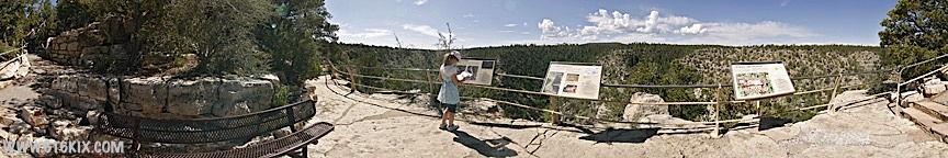
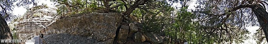
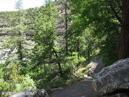
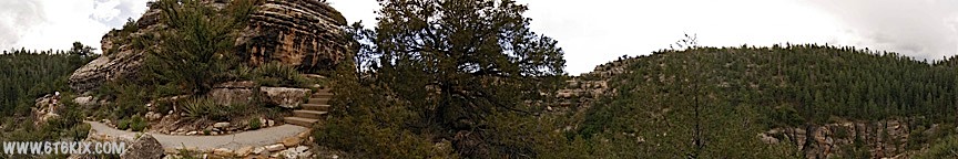
Pano taken on the path into the canyon at the first info station below the visitor center. ('09) |
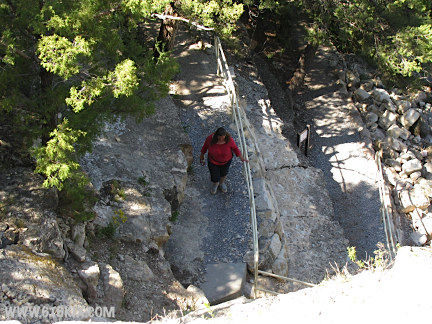
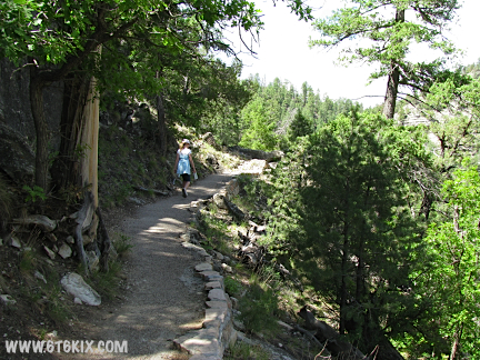
A view heading down the stairs into the canyon. Easy going down, but save your energy for trip back up! ('09) |

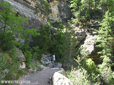
Another view heading down the stairs into the canyon. The 'island' can be seen ahead. ('09) |

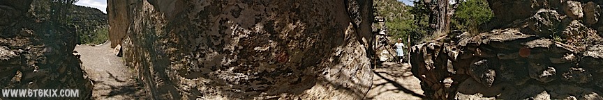
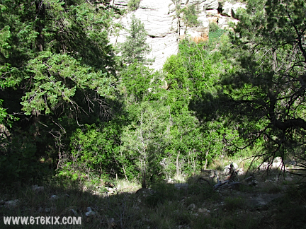
Continuing deeper into the canyon. ('09) |
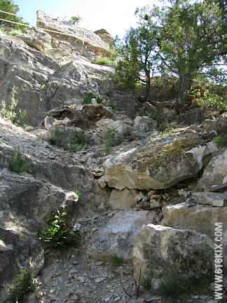
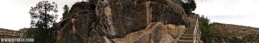
Looking down above the area where the rockfall occured last year that closed the trail for most of the year. The trail in this area was rebuilt by hand. ('09) |
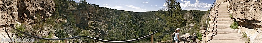
Here the trail down to the 'island' splits and loops around the outside. ('09) |
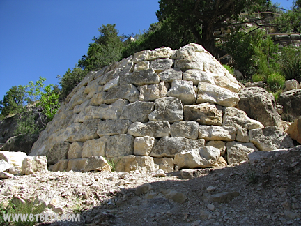
Handbuilt retaining wall to reinforce the area that the rockfall originated. ('09) |
Looking up at location from where the first photo was taken. ('09) |
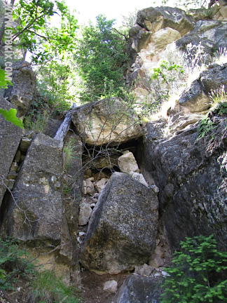
Lots of shattered rock in the area. ('09) |
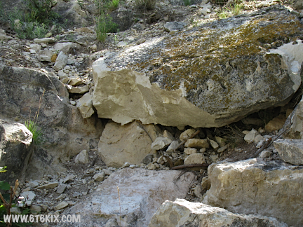
Close-up of damage. ('09) |
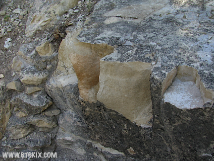
More damage. ('09) |

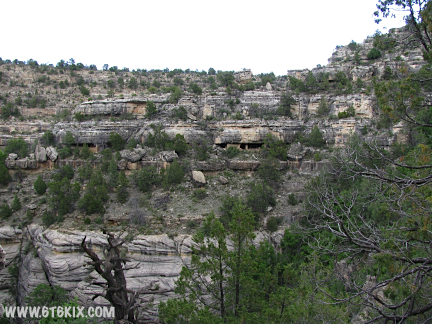
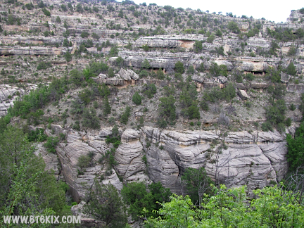
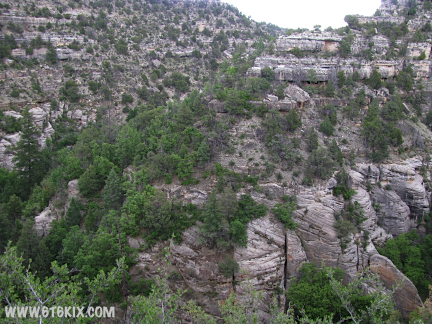
Looking to the west along the canyon wall more dwellings can be seen. ('09) |
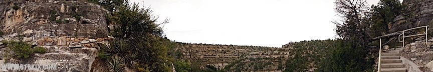
Looping around to the west side of the island. The trail back up to the visitor center can be seen to the north. ('09) |
Looking back up at the trail down into the canyon. ('09) |
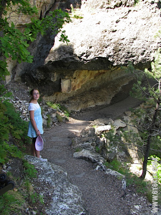
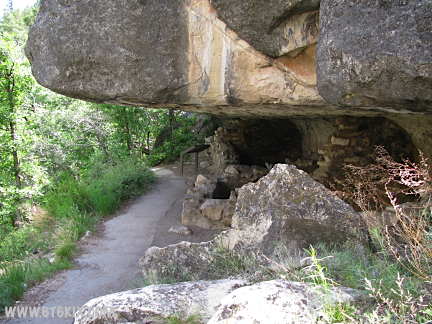
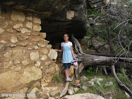
The trail continues under rock overhangs past some of the cliff dwellings. ('09) |

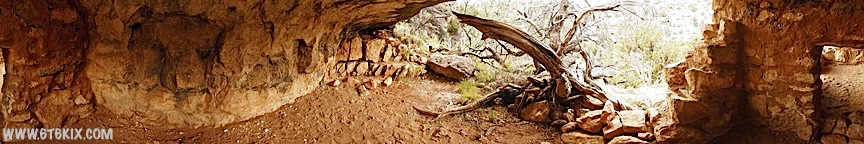
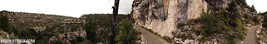
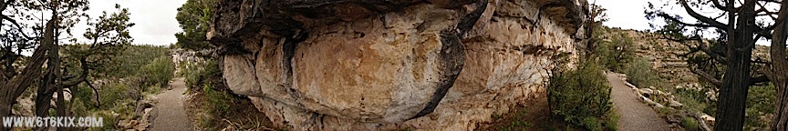
Panorama taken from inside one of the cliff dwellings on the west side of the 'island'. |

Another view from inside the west-side cliff dwellings. ('09) |

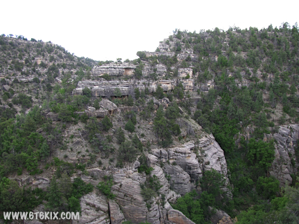
Another view from further south along the west side 'island' trail. The various cliff dwellings are in varying |

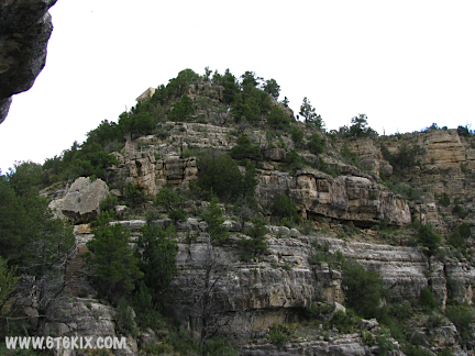
Nearing the southwest corner the trees open up for a better view of the canyon. |
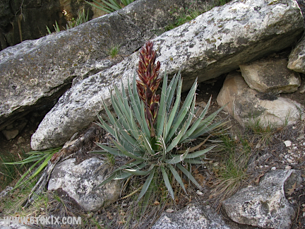
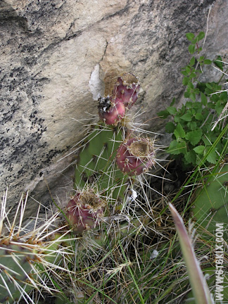
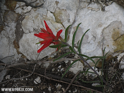
Interesting plants. ('09) |
A look back up the trail to the north. ('09) |
Further south the trail turns and we start getting some sun. ('09) |
The terrain along the cliff fce is fairly rough but the trail is level and paved. ('09) |

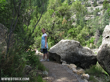
Further south along the 'island' trail's west side. ('09) |
The trees cover the canyon wherever the sun reaches. ('09) |
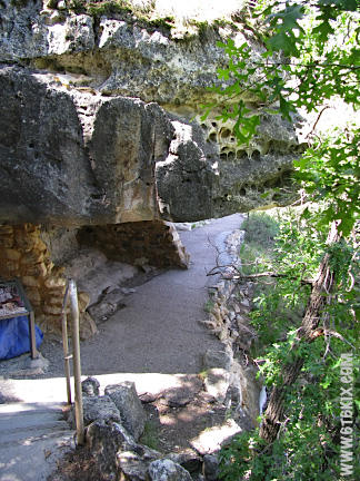
The trail runs under the rock overhang. ('09) |
Boulders waiting to roll. ('09) |
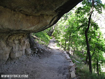
The overhangs make natural roofs. ('09) |
Looking back under the overhang. ('09) |
Finally, more sun. ('09) |

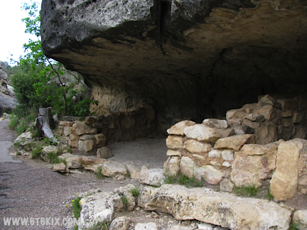
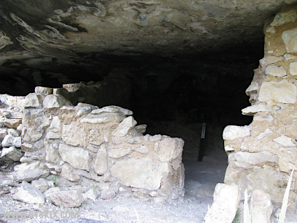
Working around the island trail to the southwest side, more partially restored cliff-dwelling ruins are found. ('09) |

Another view from inside the south island trail ruins. ('09) |
Working our way to the east, a view from inside one of the cliff dwellings. ('09) |
Another series of dwellings along the south face. ('09) |
Some are in better shape than others. ('09) |
Warning: |
Some have been completely rebuilt. ('09) |
Others have not. ('09) |
Prickley Pear for lunch? ('09) |

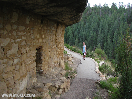
Stepping out away from the south face of the island trail a better view of the dwellings and the canyon is found. ('09) |
A view across the canyon to the east. ('09) |

Close up of some of the dwellings there. ('09) |
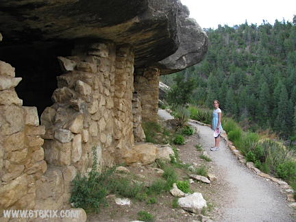
The island trail starts working its way up to a higher elevation as it curves around the southeast side. ('09) |
Looking through the trees to the other side. ('09) |
Here the trail is working its way around the west side of the island. Short stairways start raising the trail up the |
More switchback stairs are encountered as the trail works its way up the east face. ('09) |
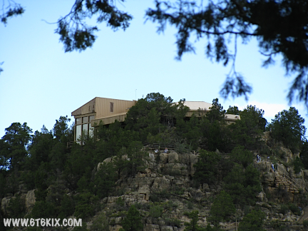
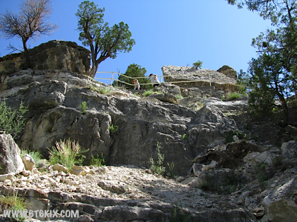
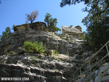
Zoom shot of the welcome center on the top of the north rim. ('09) |
More fancy plantlife. ('09) |
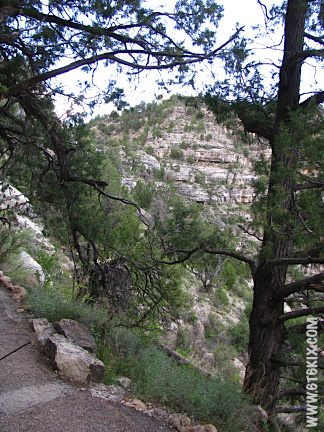
Looking back at the the east canyon wall. ('09) |
Another lookback from further north. ('09) |
A view from the northeast part of the island trail. We are moving faster as the rain clouds are moving in fast. |
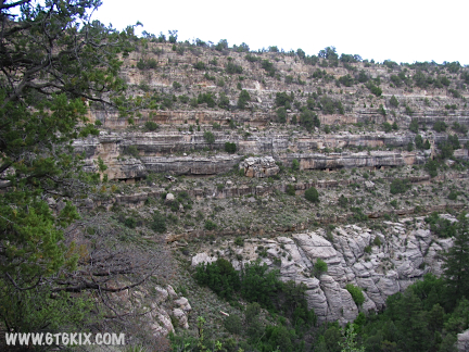
Looking down the canyon to the east at the north face. Large rockfalls can be seen along the occupied level. ('09) |
Another lookback to the east but the south wall. ('09) |
One last look from along the northeast corner of the island trail. Here we are almost back to where the trail split. |
Getting ready to start the climbout up to the welcome center (at the top of the rim). We moved as fast as we could to beat the rain but got soaked anyway. ('09) |
.
.|
|
|
|
|
|
|
|
The content posted on this web site is (c) 1985-2009 by David Schaubert
unless copyright indicates otherwise. Apple, the Apple logo, and Mac are
trademarks of Apple, Inc. of Cupertino, CA